
Clifton ZIP Code Coverage
Official Clifton materials describe five primary postal ZIP labels: 07011 through 07015. Clifton city-health documents also include 07043 in survey geography, which is an edge or service-area signal rather than proof that every address carrying that label is inside Clifton. The table keeps those two Clifton ideas separate. It identifies documented local uses without turning a postal label into a neighborhood boundary or a count of Clifton residents.
| ZIP | Documented Clifton use | Post office or official example | Important qualification |
|---|---|---|---|
| 07011 | Clifton Main Library and central or northern city mailing examples | Clifton Post Office, 811 Paulison Ave | USPS location page identifies the office as 07011-9998. |
| 07012 | Clifton Allwood Branch at 44 Lyall Road and Allwood-area addresses | USPS Postal Bulletin lists Clifton as the city label | Processing arrangements can differ from the mailing city. |
| 07013 | Clifton City Hall and municipal public-record notices | Clifton City Hall, 900 Clifton Avenue | Municipal civic-center records use this postal label. |
| 07014 | Clifton parcel and cemetery examples in the GIS record | USPS bulletin and GIS ZIP5 example | A parcel’s mailing address can be a post-office box. |
| 07015 | Clifton city and public documents | USPS bulletin lists Clifton | Exact delivery-unit or post-office-box status was not located in official sources. |
| 07043 | 2018 and 2024 city-health survey geography | Edge or service-area reference | Its exact USPS delivery description for Clifton was not located. |
The five primary Clifton labels belong in a Clifton postal reference, while 07043 remains a documented overlap rather than part of the same claim. Address-level USPS verification is the right next step when a Clifton record has conflicting city or postal wording.
Clifton’s Five Postal Labels
The 2016 USPS Postal Bulletin lists Clifton with 07011, 07012, 07013, 07014, and 07015. These Clifton codes describe mail delivery and processing geography. They do not create municipal districts, tax parcels, or legal neighborhood lines. Clifton’s own documents use them for different practical settings: the Main Library is in 07011, the Allwood Branch is in 07012, and City Hall is in 07013. The Clifton GIS sample at a cemetery parcel demonstrates 07014 in an official parcel feature.
Use neighborhood vocabulary only as a search aid. Allwood, Athenia, Botany, Clifton Center, Delawanna, Lakeview, and other local names appear in city and library material, but the documented label counts vary across sources. They are not an authoritative ZIP boundary file.
07011 and Clifton Post Office
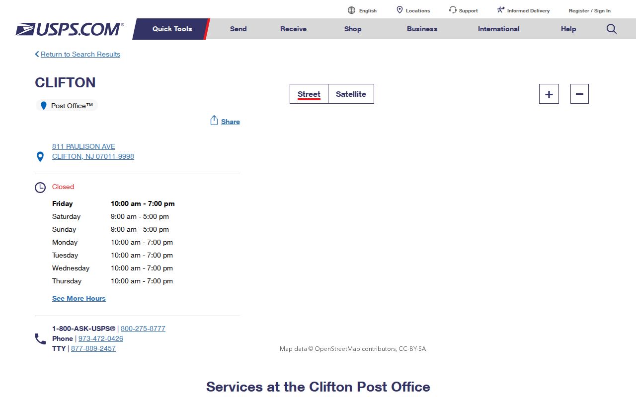
The USPS Clifton Post Office location page identifies the office at 811 Paulison Avenue, Clifton, NJ 07011-9998. It provides the official office contact context for the city’s main postal label. It does not prove that every nearby address shares the same ZIP, and the interactive USPS lookup result screen was not captured during research.
The captured USPS Clifton Post Office page is the source for the office reference used here.
For the final answer on a particular address, use USPS ZIP Code Lookup with the street address or city and state. A postal office page is a useful confirmation point, but it is not a citywide address list.
Clifton Parcel ZIP Fields
Passaic County’s parcel GIS service is the local system that exposes ZIP fields with a mapped Clifton parcel. Its features can show ZIP_CODE, ZIP5, and ZIP_PLUS4 alongside the Clifton property location, municipality, block, lot, PAMS PIN, value fields, and certain deed fields. A REST query such as a ZIP5 condition can narrow Clifton results when accepted by the service, but the county does not publish a guarantee that any result set is a complete ZIP-wide list.
| GIS field | What it represents | How to use it carefully |
|---|---|---|
| ZIP_CODE | Postal code field carried with the parcel feature | Compare it with the situs and USPS when precision matters. |
| ZIP5 | Five-digit postal field | Can support a REST filter such as a 07011 query. |
| ZIP_PLUS4 | Additional postal precision when present | May be blank and should not be invented from the five-digit code. |
| PROP_LOC and ST_ADDRESS | Property location and address-related data | Do not assume a mailing field is the parcel’s physical location. |
GIS parcel fields are a planning representation, not a survey, official tax map, or recorded-deed substitute. Owner names may also be blank or redacted. Read the parcel field as a geographic lead, then confirm ownership or transfer details in the appropriate county record.
Finding Records by Clifton ZIP
A Clifton ZIP code search should move from postal verification to parcel identification. The Clifton GIS layer can narrow mapped parcels by its ZIP field. The Clifton assessor and clerk do not have a verified ZIP search field, so the parcel’s address, block, and lot must bridge the search. New Jersey’s live voter lookup was bot-blocked during inspection; do not assume that it offers a postal filter or a public list for a whole Clifton ZIP.
- Verify the known street address through USPS. Keep the result as the current mailing reference.
- Open the address or nearby street in Passaic County GIS. Record the PAMS PIN, municipality, block, lot, property location, and ZIP field.
- Use the block and lot in the Clifton assessment portal to review the parcel’s tax-record fields. Save the situs and mailing data separately.
- Search PRESS by municipality and block/lot for recorded documents. Use the latest deed and legal description to test the parcel connection.
- For a dated address record, request a defined permit, map, or public-meeting item from Clifton rather than treating a ZIP as a resident roster.
Once a postal area has been narrowed to a specific street, use the Clifton street directory for the fuller by-address record trail. That workflow is built around parcel identifiers rather than ZIP labels alone.
Clifton Parcel Record Filters
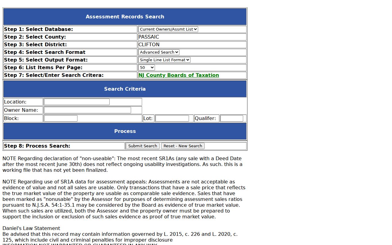
Clifton’s TaxRecords-NJ assessor search is useful after a parcel is identified, but its inspected simple and advanced forms did not display a ZIP field. They accept location, owner, block, lot, qualifier, Street Addr, City, class, sale date, value ranges, and other property fields. A City filter is not a postal filter. PRESS likewise searches by municipality, document type, block/lot, name, instrument number, and dates rather than ZIP.
The captured advanced Clifton assessor search shows its City, class, sale-date, value, and date-range controls.
The absence of a ZIP field is useful information. Translate a verified address into the municipal parcel identifiers, then use the assessor for the assessment layer and PRESS for the recorded-document layer. Do not label either system a ZIP directory.
Clifton Postal Boundaries
ZIP boundaries and Clifton city limits do not match one-for-one. A city survey can include the 07043 edge label, a parcel can use a Clifton situs with a different mailing address, and an institution or post-office box can carry a Clifton ZIP without representing a residence. A nearby municipality may also share a postal label. No authoritative city-versus-ZIP boundary polygon or crosswalk was located in the research, so exact edge claims should be verified address by address.
- ZIP versus ZIP+4
- A ZIP identifies a postal delivery area. ZIP+4 adds delivery detail for a smaller segment or address range.
- Post-office-box ZIP
- A postal code associated with box service or mailing use. It does not by itself locate a physical parcel.
- Unique ZIP
- A code used for a single organization or high-volume addressee. No Clifton unique-ZIP designation was verified in the research.
- Carrier route
- A USPS delivery sequence within a postal area. It is not a municipal boundary or public directory.
Clifton Postal Processing Change
A 2017 USPS Postal Bulletin records processing changes involving 07012, 07014, and 07015, shifting processing from Clifton 07011 and 07013 to Berkeley Heights 07922. That operational change does not show that a Clifton address changed municipality or that its postal label was reassigned. It is a reminder to distinguish sorting arrangements from the ZIP printed on an address.
Postal reference tables can also age quickly. Use the bulletin for its documented historical processing fact, then confirm any current address directly with USPS rather than carrying an old table into a current record search.
Note: Postal-processing information explains mail operations, while parcel, assessment, and deed records use their own geographic identifiers.
Clifton’s Historic Place Labels
Clifton’s postal and municipal geography sits on top of older place names. The city incorporated in 1917 from the Acquackanonk Township area, and a 1913 historical-news collection records annexation debate involving Clifton, Delawanna, Richfield, Albion Place, Athenia, Lakeview, and Botany. Older directories, deeds, and maps can use those labels without matching today’s city name or postal assignment.
This documented local story is especially helpful when a historical address seems to fall outside a modern search. Compare the old place label with the street reference, parcel block and lot, official tax map, and filed map before deciding that a record belongs to a different location.
ZIP Data and Clifton Counts
The 2024 Community Health Assessment reported survey responses by postal label, including 07011, 07012, 07013, 07014, and 07043. The report states that its survey is not representative. Those percentages describe respondents in that assessment, not Clifton population totals, household counts, or coverage of a postal reference.
Use postal data to sort address research, then use the actual record system for the fact sought. That keeps a useful geography tool from becoming a misleading resident count.